
Champaign County ZIP Coverage
A county planning packet supplies the broadest official local list of ZIP and community pairs. It is a service-area classification, not a certified USPS boundary table. The Champaign County ZIP code directory therefore uses the list as a starting point, then routes an exact address to CCGISC and USPS for confirmation. Urbana, Champaign, and the county's smaller towns have distinct postal labels, while several communities have more than one code or a code that does not match a legal city boundary.
| ZIP Code | Areas Covered | Post Office | Notes |
|---|---|---|---|
| 60949 | Ludlow service area | Ludlow | Verify county and route at address level |
| 61801, 61802, 61803 | Urbana service areas | Urbana | Postal Urbana can include a different jurisdiction |
| 61820, 61821, 61822, 61824, 61825, 61826 | Champaign service areas | Champaign | 61822 has a documented secondary-city-name issue |
| 61815-61819 | Bondville and Broadlands are locally listed | Local post office | Not every number in the range appears in the county list |
| 61840-61853 | Dewey, Fisher, Foosland, Gifford, Homer, Ivesdale, Longview, Mahomet | Community post offices | Use only the exact codes listed below |
| 61859-61880 | Ogden through Tolono communities | Community post offices | Includes rural and municipal areas |
The remaining specific pairs are 61815 Bondville, 61816 Broadlands, 61840 Dewey, 61843 Fisher, 61845 Foosland, 61847 Gifford, 61849 Homer, 61851 Ivesdale, 61852 Longview, 61853 Mahomet, 61859 Ogden, 61862 Penfield, 61863 Pesotum, 61864 Philo, 61866 Rantoul, 61871 Royal, 61872 Sadorus, 61873 Saint Joseph, 61874 Savoy, 61875 Seymour, 61877 Sidney, 61878 Thomasboro, and 61880 Tolono. Do not fill gaps in those ranges by assumption.
Champaign County ZIP Data
CCGISC's 2025 data structure identifies a ZipCodeLookupTable that associates ZIP codes with communities. Its AddressDatabaseView covers county addresses, with separate views for Champaign, Urbana, Mahomet, Rantoul, and Savoy. That structure is more useful than a broad web map when the question concerns one local address. Exact current rows were not exposed in the research crawl, so a live query or staff request is still needed.
The CCGISC addressing route is an authority-oriented system with Authority\UserID and password fields, plus a way to create a login ID. It is not a public resident directory.
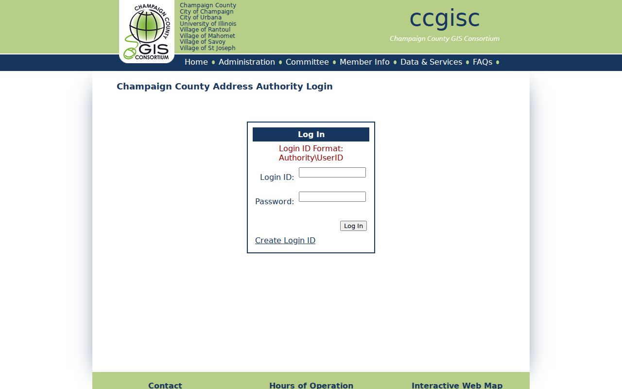
The login screen shows why access channel matters. If the needed layer is unavailable publicly, contact CCGISC by phone or email, request address-database documentation, or use the county data-request process. Do not guess a code from the nearest city name.
Champaign ZIP Name Quirks
CCGISC policy minutes document a useful mismatch. USPS lists 61822 as Champaign and 61875 as Seymour, while Mahomet is a valid secondary USPS city name for property inside Mahomet corporate limits. A search that joins records only on typed city text can miss a match even when the street and code are correct.
Store the USPS place and legal municipality in separate fields. Neither should overwrite the other.
Urbana 61802 also illustrates the issue. CCGISC's unincorporated address standard uses it as an example of a postal place that can coexist with an unincorporated or different municipal jurisdiction. Preserve the returned jurisdiction, PIN, county, and retrieval date with the postal result.
Find Residents With Champaign ZIPs
A ZIP code directory narrows geography, but most official county tools work best from a full address or parcel number. The safe method is to verify the delivery label, identify the local jurisdiction, and then choose the record keeper. Illinois voter registration lookup accepts a ZIP as one required identity field, yet it is a registration-status tool for a known person, not a way to browse everyone in a ZIP.
- Normalize the house number, direction, street suffix, unit, municipality, and state. Keep the spelling exactly as returned.
- Query CCGISC address data. Record the ZIP, USPS place, legal jurisdiction, PIN, source layer, and date.
- Verify the delivery code and preferred place name with USPS, especially near county lines or in a rural route.
- Choose the custodian for the actual question. Property work routes to GIS, Assessment, Treasurer, or Recorder, while historical names route to directories and archives.
- When a ZIP narrows the area, continue by address only if needed. Never publish a compiled list of private households.
The Treasurer's public location form asks for house number and street, not a broad ZIP filter. It also has county-specific rules for city streets and rural road numbers. Once a postal area is narrowed to one road, the Champaign County street directory explains the address-level record path.
Map Champaign County ZIP Context
The CCGISC public map login exposes username, password, and credential-recovery controls. Public map tools can provide address, PIN, aerial, district, jurisdiction, and other local context, but the map disclaimer calls the product a general index rather than a legal survey.
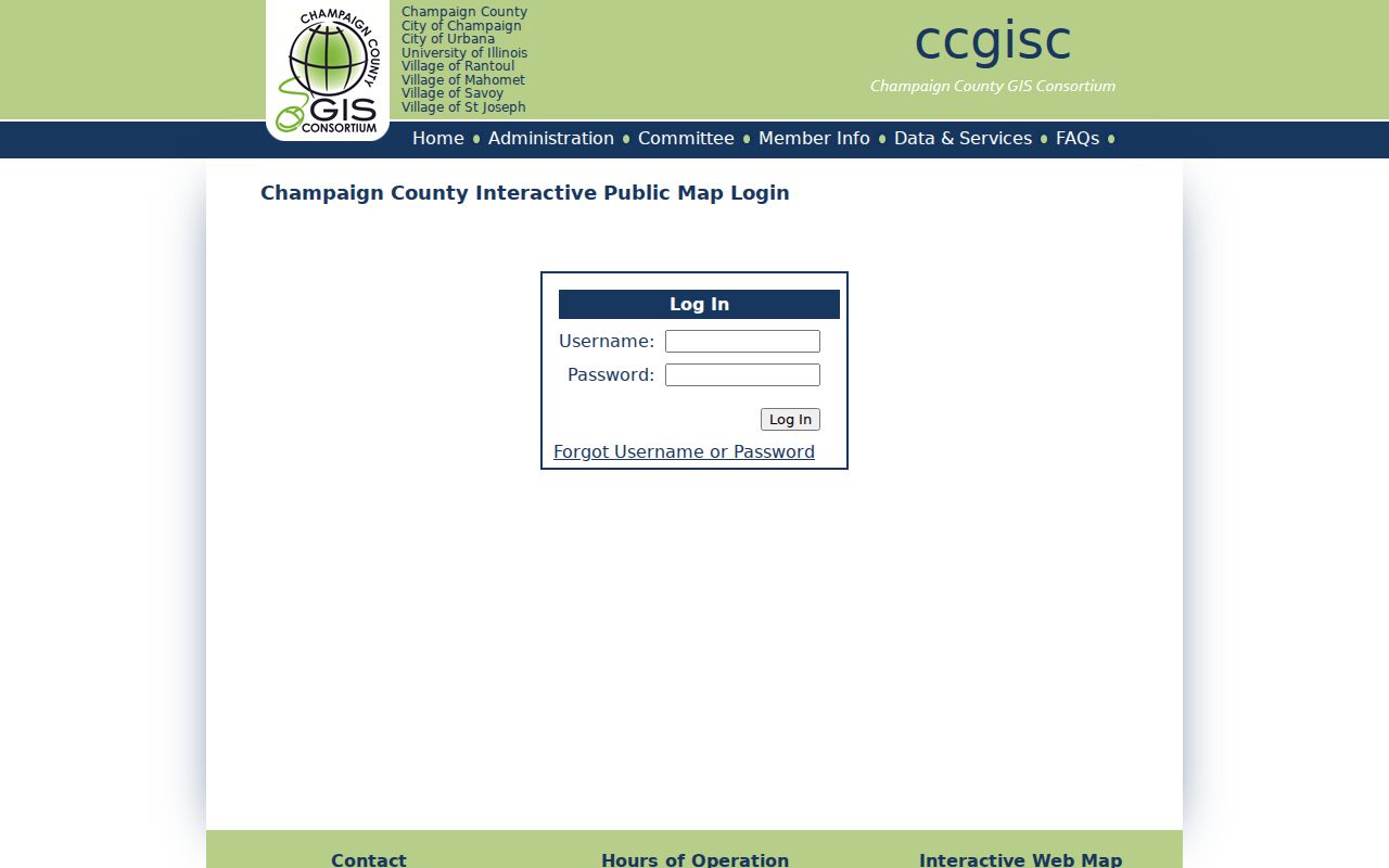
Some layers or products may need credentials, an account, or a data license. Public map maintenance is scheduled from 10:45 p.m. to 3:30 a.m. Central, so a failed late-night session is not proof that an address is absent. Call CCGISC at 217-819-3555 when the local ZIP or jurisdiction result remains unclear.
Request Champaign County ZIP Records
The CCGISC data request form is the fallback for map products, annual data, parcel polygons, subsets, and licensed delivery. A records request should name the desired view or documentation, geographic scope, format, and date. Ask for a price or license terms before ordering.
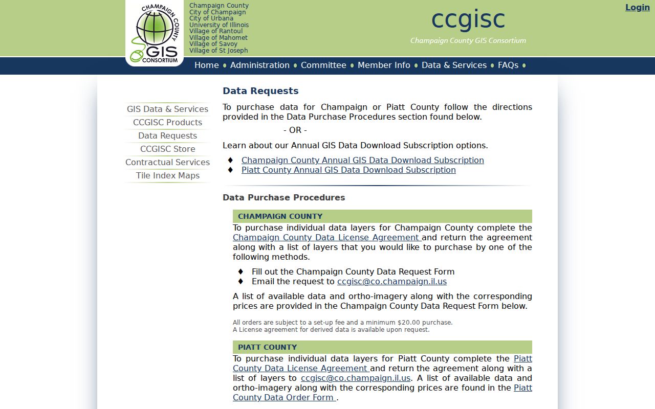
The data page confirms that downloadable information and an interactive web map are different access channels. CCGISC can also be reached at ccgisc@co.champaign.il.us. For non-searchable public administrative records, use the correct county or municipal records process rather than trying to force a name search through GIS.
| Field to save | Reason |
|---|---|
| Exact entered address | Shows what spelling and format produced the result |
| ZIP and USPS place | Preserves the delivery label |
| Municipality and county | Identifies the legal records custodian |
| PIN and source layer | Ties the address to the mapped parcel source |
| Retrieval date and warning | Records updates and secondary-city cautions |
Historical Champaign County ZIP Research
Do not force a modern ZIP onto a nineteenth-century city directory. Older records may use a town, township, rural route, post office, ward, or historical street label. Search the city or regional directory for the place name used at the time, then compare maps, title abstracts, Sanborn sheets, and municipal ordinances.
If a current code produces no historical result, record the negative search and try neighboring years, old street names, and former numbers. The 207 W Washington survey, for example, documents an earlier 305 W Washington address. Such a change can break a present-day address search even when the family remained at the same site.
Champaign ZIPs Versus City Limits
A ZIP code identifies a USPS delivery area. It does not establish a city boundary, township, school district, neighborhood, parcel, or county line. Census ZIP Code Tabulation Areas are another thing again: statistical shapes that approximate many delivery areas but may omit PO-box and unique codes. Use Census ZCTAs for statistics, USPS for delivery, and CCGISC or municipal data for legal jurisdiction.
- ZIP and ZIP+4
- A five-digit delivery area and its more precise four-digit add-on for a route, block, building, or delivery group.
- PO-box ZIP
- A code used mainly or solely for post-office boxes, which may not form a normal street-delivery area.
- Unique ZIP
- A code assigned to one high-volume organization rather than a broad neighborhood.
- Carrier route
- The set of addresses served by one postal delivery route; it is not a city or parcel boundary.
The correct conclusion may be that several labels apply at once. Preserve them all. A Champaign postal name does not by itself prove City of Champaign jurisdiction, and a ZCTA statistic does not certify the delivery code at one home.